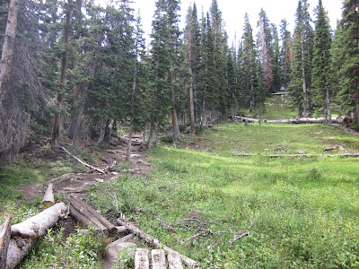
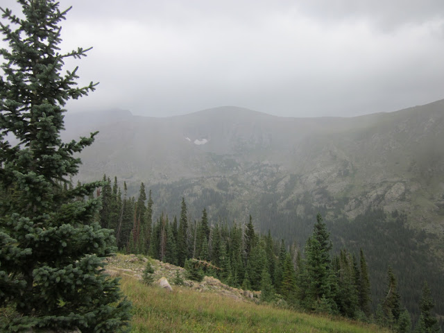
It took about an hour and a half to get to the Guanella Pass trailhead near the tiny town of Georgetown, CO. We parked along the road and started on the trail around 9 am. We found out later that we were headed to the rounded peak on the right.
The trail headed across a flat plane to the base of the mountain.
But then the uphill started...
...and we kept going up.
Only some 12,000 ft up but already the uphill is a struggle. So we took a much needed break.
But at least we enjoyed a nice view while we rested.
Then we headed up some more, but we at least had somewhat of a break with a flat-ish part. But being up that high, even flat-ish is tough.
And then the up started again. More uphill...
And more up...
Somewhere around 13,500 ft we reached a ridge at the base of the last leg to the summit. Every step took more effort and energy than running 10X the distance at sea level. We would rest for a few minutes, and within 5 steps we were out of breath again. The boys were way ahead of Clara and me...at least until the end when even those who had conquered 14ers before were struggling.
Then after another break and snack, we headed up the big pile of rocks to the summit.
And then we made it!!
First 14er...check
Successful adventure!
Looking back at the trailhead between 2:30-3 pm, we were reminded of just what we accomplished. It was pretty incredible.
Saturday, August 25, 2012
Saturday, August 11, 2012
And the winner of the worst hike goes to...
To be fair, the hike itself was great. But the combination of the worst trailhead access and rain resulted in a less than ideal hike.
It looks like an arm!!
The 4th of July trailhead is something I have avoided for over a year-- completely by choice. I read online that getting there involved an unmaintained dirt road. Still accessible to 2WD vehicles, but my lack of desire to drive on dirt roads has kept me away from there despite some great close hikes originating there.
But today, against my better judgement, I headed out there. I was weighing two trials in mind: one an easy 5-mile hike to a lake, and a harder 7-9-mile hike to either a glacier or a summit.
I drove through the town of Eldora: a cute little town home to the nearest ski resort to Boulder. Every house is either a wood cabin or has wood siding. They're very cute. It has one 4-way stop intersection. At the edge of the town the pavement stops and I drove a dirt road for a while. Then there was a fork: Hessie Trailhead 1/2 mile and 4th of July trailhead 4 miles. Once again, against my better judgement, I headed towards the 4th of July trailhead. Within minutes, driving 10 mph over rocks and into holes, I knew I should turn around. But I kept on going. Gripping my steering wheel with white knuckles, wondering if my car was just going to give up somewhere along this road. What gave me the push to continue on was coming up on a Ford Fusion. If he could do it--I could do it.
I made it to the trailhead, found a good parking spot, and headed out to the trail. I dreaded coming back and having to drive that road again, but I could forget about that for a while, at least.
The trail started off like every other trail in the Indian Peaks Wilderness area.
I caught a glimpse of the surrounding mountains.
The clouds are prominent but they don't look too ominous in the above picture, but 4 minutes later, that changed.
I was nervous at this point. Should I turn back? I only just started... But 10 minutes later I saw a glimpse of blue sky again. Maybe it would be OK. I could at least get in the 5-mile hike.
When I got to the fork in the path, I chose to head toward Diamond Lake instead of Arapahoe glacier. The last thing I wanted to do was drive back on a horrendous dirt road that was also muddy.
Out of nowhere: a completely awesome tree!
It looks like an arm!!
Thanks to monsoon season, the mushrooms are in full swing. I found one on a tree that reminded me of our Christmas ornaments, but it's pretty obvious someone put it there...for whatever reason.
I came across a mini waterfall after a few miles, and it seemed like the lake should be just around the corner.
I crossed over the stream and headed forward to the lake.
But the path led away from the waterfalls. Every step I took was a step that felt like I was walking away from the lake. The trail was drier and I stumbled upon what looked like a tree massacre.
And flat lands...I had to be walking away from the lake. Had I missed a turn off somehow?
But I did make friends with a bird.
And maybe the clouds were clearing a little...
...or not...
But then I came upon the sign...I WAS going the right way.
And I made it!
But one look to the west side of Diamond lake told me I didn't have even a few minutes to spare for a snack break.
It was going to rain. All I had to do was get back to the trailhead before the rain started. The map at the trailhead showed that the Diamond lake trail was a loop, so instead of heading back the way I came, I continued on over more streams.
After 15 minutes I stopped. Something didn't seem right. I looked at the trailhead map, which I thankfully always take a picture of before I start, and realized that (even though the Diamond lake trail was a loop) the loop did not end at the same trailhead where I started. I thought it might have ended at the Hessie Trailhead...4 miles down the road from where my car was. That was not a trek I wanted to make. So I turned around and headed back to the lake...just as the raindrops started falling.
Absolutely terrified of the dirt road getting muddy and poor little Elantra getting stuck, I practically ran back to the trailhead. It took me 1 hour 35 minutes to get to the point where I turned around. It took me 1 hour to get back to the trailhead.The trail wasn't segregated into uphill for the first half and downhill for the second half. Instead it was a moderate trail with lots of ups and downs and flats, so that should tell you something about just how fast I was moving.
I managed to get down the dirt road and back to the safety of pavement in the little town of Eldora. My poor poor car. Mountain roads are bad enough without having to navigate 4 miles of rough dirt road. That's the last time I force my poor car out to the 4th of July trailhead.
Subscribe to:
Comments (Atom)


